Content options
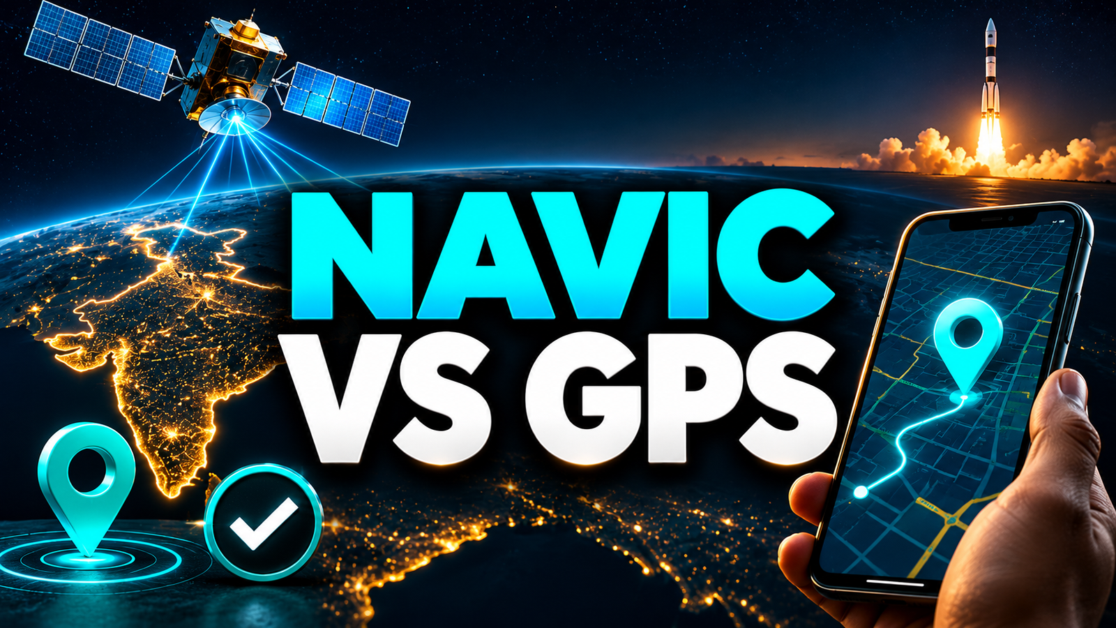
The NVS-03 satellite is a navigation satellite for NavIC, India's own regional positioning system run by ISRO. It adds to the group of satellites that tell receivers where they are and what time it is. For most phone users, the launch does not change anything overnight: your maps app will keep leaning mostly on GPS unless your phone chip and apps are set up to use NavIC as well.
According to reports, ISRO launched NVS-03 aboard the GSLV-F18 rocket from Sriharikota, and the Prime Minister congratulated the space scientists. Reports also quote the ISRO chief as saying two more navigation satellites are to follow. This article skips the launch ceremony and explains what the satellite is for.
Key takeaways
- NavIC is India's regional navigation system. It covers India and a belt around it, unlike GPS, which covers the whole planet.
- NVS-03 is part of the newer NVS series, meant to replace and strengthen the older satellites in the constellation.
- Your phone uses NavIC only if its chipset supports it and the software turns it on. Check the spec sheet before assuming.
- The biggest everyday gains are in vehicle tracking, fishing boats, power grids, timing and emergency alerts, not in the blue dot on your map.
What is NavIC, in plain words?
NavIC stands for Navigation with Indian Constellation. It was earlier called IRNSS, the Indian Regional Navigation Satellite System. ISRO built it so India would not depend entirely on foreign systems for something as basic as knowing position and time.
Like GPS, it works through radio signals. Each satellite broadcasts its position and the exact time the signal left. A receiver, such as your phone, measures how long each signal took to arrive and works out its own location from several of them at once.
NavIC is designed to cover India and a surrounding region, which ISRO has described as extending about 1,500 km beyond the Indian border. It is not a global system and was never meant to be.
What does the NVS-03 satellite actually do?
NVS-03 belongs to the second generation of NavIC satellites, called the NVS series. The first NavIC satellites were launched between 2013 and 2016, and several of them have since had problems, notably with their onboard atomic clocks. New satellites are needed to keep the system dependable.
The NVS series is described by ISRO as carrying an added signal in the L1 band, alongside the L5 and S-band signals used earlier (confirm against ISRO's NVS-03 mission page). L1 is the same band consumer GPS uses, so it matters for small devices like wearables and cheap chips. It makes it easier for a single chip to listen to NavIC and GPS together.
In short, NVS-03 does two jobs. It keeps the constellation healthy, and it makes NavIC easier to build into ordinary consumer devices. You can read ISRO's own description of the mission on the ISRO website.
How is NavIC different from GPS?
GPS is American, global and has been in civilian use for decades. NavIC is Indian, regional and much newer. The difference is less about which is better and more about what each was built to do.
| Feature | GPS | NavIC |
|---|---|---|
| Owner | United States | India (ISRO) |
| Coverage | Worldwide | India and a surrounding region |
| Satellite orbits | Medium Earth orbit, moving across the sky | Geostationary and inclined geosynchronous, high above India |
| Satellites in the system | About 30 working satellites | A handful, aimed at seven or more working (check current count) |
| Civilian service | Standard positioning, free | Standard Positioning Service, free |
| Restricted service | Encrypted military signal | Restricted Service for authorised users |
| Control | US government | Indian government |
NavIC's satellites sit high over the Indian region instead of sweeping across the sky. That means they stay in view of India all the time, which helps in places GPS struggles, such as narrow city streets, hilly terrain and dense forest. ISRO has claimed accuracy of better than 20 metres across India and around 10 metres in much of the area, though real-world results depend on the receiver.
A worked example: why clocks matter so much
Here is the arithmetic behind a satellite fix. A geostationary satellite sits roughly 36,000 km above the equator. Radio signals travel at about 300,000 km per second.
- Travel time is 36,000 ÷ 300,000, which is about 0.12 seconds.
- The receiver multiplies that time by the speed of light to get distance.
- If the satellite's clock is off by just one microsecond (one millionth of a second), the distance is wrong by 300,000 km/s × 0.000001 s = 0.3 km, or 300 metres.
That is why the failure of an atomic clock on a navigation satellite is serious, and why replacing ageing satellites matters. A tiny timing error becomes a large position error.
Does your phone use NavIC?
Only some do. Support depends on the phone's chipset and the frequency bands it can receive. Chip makers such as Qualcomm and MediaTek have added NavIC support to a number of their mobile processors, and several phones sold in India list it in their specifications. Many budget phones do not.
Even when your phone supports it, you usually will not see a switch. The phone's location system blends signals from all available satellite systems and picks the best ones. You will rarely know which one is working.
How to check if your phone supports NavIC
- Look up your exact model on the manufacturer's website and search the specifications for "NavIC" or "IRNSS" under positioning or GPS.
- Check the processor name, then search that chipset's official page for supported navigation systems.
- Install a free GPS status app from the Play Store and see whether it lists "IRNSS" or "NavIC" satellites with a signal.
- Test outdoors with a clear sky. Indoors, no system will show much.
Some years ago there were reports of a government plan to make NavIC support compulsory in phones sold in India. As far as we know, no such rule is in force, so check current announcements rather than assuming.
Where NavIC matters more than your map app
The most important users are not people checking a cab on their phone. They are services that need dependable, India-controlled positioning and timing.
- Vehicle tracking: Tracking devices fitted to public transport vehicles under India's AIS-140 standard can use NavIC alongside GPS (confirm current rules).
- Fishermen: NavIC has been used to send alerts and messages to fishing boats at sea, including warnings about weather and restricted zones.
- Disaster warnings: The system can carry short messages to areas where mobile networks are down.
- Timing: Power grids, banks and telecom networks need accurate time signals, and a home-grown source reduces dependence on foreign systems.
- Defence and strategic use: The restricted service is meant for authorised users, so it cannot be switched off by another country.
Myth vs fact
Myth: NVS-03 will make your phone's location far more accurate next week.
Fact: Improvement depends on your chipset, the apps you use and how many NavIC satellites are working. A single satellite does not change much on its own.
Myth: NavIC will replace GPS on Indian phones.
Fact: Phones combine several systems. NavIC is an addition, and because it is regional, GPS is still needed whenever you travel abroad.
Myth: Using NavIC costs extra data or money.
Fact: Receiving satellite signals is free. It does not use mobile data.
What this means for you
If you live in India and drive, ride or travel in hilly or crowded areas, a phone with NavIC support may give a slightly steadier fix. It is a nice extra, not a reason to buy a phone by itself. If you run a fleet, a fishing boat or a business that needs precise timing, NavIC support in your device is worth checking.
If you are worried about location data in general, remember that satellite signals only flow to you. Your privacy depends on the apps you allow to read and share that location. Should something go wrong with your accounts, see our guide on how to report cyber fraud in India.
FAQ
Is NVS-03 the same as NavIC?
No. NavIC is the whole navigation system. NVS-03 is one satellite in the newer NVS series that supports it.
Is NavIC better than GPS?
For India and nearby areas, it can perform very well because its satellites stay high above the region. GPS covers the whole world and has far more satellites, so each has strengths. Phones usually use both.
Do I need to turn NavIC on in my phone?
Usually not. If the chipset supports it, the phone uses it automatically with other satellite systems. Most phones show no separate setting.
Will NavIC work outside India?
Not reliably. It is designed to cover India and a belt around it. Beyond that region, your phone will rely on GPS and other global systems.
How many more NavIC satellites are planned?
According to reports quoting the ISRO chief, two more navigation satellites are to be launched. Dates and details should be taken from ISRO's official announcements.
Bottom line
NVS-03 matters mainly as infrastructure: it helps keep India's own navigation system running and makes it easier to build into everyday devices. Your next step is simple. Look up your phone's specifications for NavIC support, and follow ISRO's official site for the next launches.