Content options
A direct cyclone hit on Gujarat from a Bay of Bengal system is uncommon, and nothing in the reports we have seen says one is headed your way. What Gujarat can get from such a system is cloudier skies, a change in wind, and in some years scattered unseasonal showers. Whether that happens depends on the track the system takes, and that cannot be known until it actually forms.
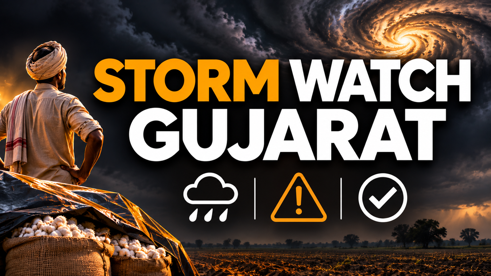
According to Gujarati media reports, forecasters see a chance of a new system taking shape in the Bay of Bengal around 17 November, with a possible cyclone named Akwan. The same reports ask whether Gujarat should expect a cyclone or only unseasonal rain. This guide explains how to read that kind of forecast and what to prepare, without guessing the outcome.
Key takeaways
- A low-pressure area is only the first stage. Many never become cyclones.
- Bay of Bengal systems in November usually head towards Tamil Nadu, Andhra Pradesh or Odisha, not Gujarat.
- Gujarat's realistic risk is unseasonal rain over standing or harvested crops, not a landfall.
- Follow IMD bulletins and district alerts, and protect harvested produce before the rain, not after.
What is a low-pressure system, in plain words?
Air pressure is the weight of the air above you. Over very warm sea water, air heats up and rises. That leaves lower pressure at the surface, and winds from the surroundings rush in to fill the gap.
Because the Earth rotates, those inward winds curl instead of going straight. In the Northern Hemisphere they spin anticlockwise. Rising air cools, forms thick cloud, and brings rain. This whole arrangement is what meteorologists call a low-pressure area.
Most low-pressure areas fade out within days. They need warm water, moist air and little wind shear (winds changing sharply with height) to keep growing. If any of these fail, the system weakens or merges into the weather around it.
How does a low-pressure area turn into a cyclone?
The India Meteorological Department (IMD) grades systems by their sustained wind speed near the centre. Each step up means stronger winds, and a system can stall or weaken at any step.
| Stage (IMD term) | Typical sustained wind | What it means for you |
|---|---|---|
| Low-pressure area | Below about 31 km/h | Cloud and rain, often routine |
| Depression | About 31 to 49 km/h | Heavier rain, some gusty wind |
| Deep depression | About 50 to 61 km/h | Strong rain, alerts for coastal districts |
| Cyclonic storm | About 62 to 88 km/h | Gets a name; serious wind and rain |
| Severe cyclonic storm and above | About 89 km/h and higher | Major damage risk near landfall |
A system receives a name only once it reaches cyclonic storm strength. That is why you may read about a possible cyclone with a name before it exists. Treat a pre-announced name as a possibility, not a confirmed event.
Why does the Bay of Bengal produce so many storms in November?
October to December is the post-monsoon cyclone season for the north Indian Ocean. The Bay of Bengal is warm, shallow near its edges and fed by river water, so it supports repeated systems. The Arabian Sea, which touches Gujarat, is generally less active, although strong cyclones do form there.
This is the reason Tamil Nadu, Andhra Pradesh, Odisha and West Bengal watch the Bay closely. For a similar explainer from the south, see our guide on how a yellow alert for Cyclone Murasu was explained for Kerala.
Will a Bay of Bengal storm reach Gujarat?
Most Bay systems move west or north-west and make landfall on the east coast of India or in Bangladesh and Myanmar. To reach Gujarat, a system would have to cross the whole peninsula and survive, or recurve in a rare pattern. When that happens, it is usually a weakened remnant that comes out over the Arabian Sea and may or may not re-intensify.
More often, Gujarat feels indirect effects. Moisture streams in, high clouds spread, humidity rises and night temperatures climb. If a western disturbance, a separate weather pattern from the north-west, meets that moisture, scattered rain or thunderstorms become possible, especially in Saurashtra, Kutch and south Gujarat. That is the real meaning of "cyclone or unseasonal rain" in the headline.
We do not have a forecast track in the source reports, so any claim that Gujarat will definitely get rain on a given date would be guesswork. The useful move is to check the IMD forecast for your district every day while the system develops.
Myth vs fact: reading cyclone news correctly
- Myth: A named cyclone in the Bay will hit Gujarat. Fact: Most do not. Landfall points depend on steering winds that change daily.
- Myth: No cyclone means no damage. Fact: Even a light spell of unseasonal rain can spoil harvested cotton, groundnut, fodder or drying produce.
- Myth: Forecast dates are fixed. Fact: Formation dates in early reports often shift by a day or two, or the system does not form at all.
- Myth: Social media videos are the best source. Fact: Use IMD bulletins and state disaster management alerts. Video explainers are fine for context, not for decisions.
What should Gujarat farmers watch for?
November is a busy month. Cotton picking is often under way, harvested kharif produce may still be on the field or in the yard, and rabi sowing of crops such as wheat, gram and cumin begins in many districts. Rain at the wrong moment hurts each of these differently.
- Harvested produce lying open, such as kapas, groundnut pods or fodder, is the most exposed.
- Freshly sown seed can be washed out or crust over if heavy rain follows within days.
- Standing cotton bolls can discolour if wet weather lingers.
- Pesticide or fertiliser spraying just before rain is wasted money.
A worked example: what a small cover can save
This is an illustration with assumed numbers, not a current mandi price. Say a farmer has 40 quintals of kapas waiting in the yard, valued at Rs 7,000 per quintal.
- Total value: 40 x Rs 7,000 = Rs 2,80,000.
- Suppose unseasonal rain wets one quarter of it: 10 quintals.
- Wet or stained cotton may sell at about 20% less: 10 x Rs 7,000 x 0.20 = Rs 14,000 lost.
- A good tarpaulin may cost a few thousand rupees and can be reused for years.
The point is not the exact figures. Cover costs little compared with even a modest loss. Check with your local agriculture office about crop insurance and what proof or timelines apply if damage occurs, since rules differ by scheme and season.
Checklist: what households should do before a rain alert
- Check the IMD district forecast each morning at mausam.imd.gov.in while the system is developing.
- Charge phones and power banks, and keep a torch handy.
- Clear drains and rooftop outlets, and move items off terraces that can blow away.
- Keep important papers, such as ration card, land records and insurance copies, in a waterproof pouch.
- Park vehicles away from loose hoardings, weak trees and low-lying spots.
- If you live on the coast or in a kutcha house, note the nearest shelter and keep medicines for a few days.
- Fishermen should follow port signals and not go out when a warning is issued.
How to tell an ordinary forecast from a real warning
IMD uses colour codes: green means no action, yellow means be aware, orange means be prepared, and red means take action. A yellow alert for a district is a reason to check again later, not to panic. An orange or red alert is the time to act on the checklist above.
Also watch the wording. "Possibility of formation" is very different from "likely to intensify" or "expected to cross the coast". Each phrase marks a higher level of confidence.
Weather also shapes your wider water picture for the year. If you want that context, our piece on El Nino 2026 and Gujarat water for households explains what a warmer-ocean year can change.
Common mistakes people make
- Acting on a single forwarded message with a screenshot and no source.
- Waiting for the word "cyclone" before covering produce, when plain rain is the usual threat in Gujarat.
- Ignoring the forecast after one dry day, since these systems can change course.
- Sowing or spraying just ahead of a forecast rain spell.
Frequently asked questions
Will Gujarat get a cyclone from the Bay of Bengal system?
It is not likely based on how Bay systems usually behave, and the reports we have seen do not confirm a Gujarat track. Treat it as a watch-and-check situation, not a certainty either way.
Can Gujarat still get rain without a cyclone?
Yes. Moisture from a Bay system combined with another weather pattern can cause cloud and scattered unseasonal showers. Intensity and location vary by district.
What is the difference between a depression and a cyclone?
It is the wind speed. IMD calls a system a depression at roughly 31 to 49 km/h sustained winds and a cyclonic storm at roughly 62 to 88 km/h. Only the latter gets a name.
Where should I check reliable weather updates?
Use the India Meteorological Department website and its district forecasts, and your state disaster management or district collector alerts. Local news is useful for explanation but check dates and sources.
Should farmers delay sowing or harvest because of this news?
That is a local decision. Compare the IMD forecast for your taluka with your crop stage, and speak with your local agriculture officer or krishi vigyan kendra before changing plans.
Bottom line
For most Gujarat households, this is a time to stay informed, not alarmed. A Bay of Bengal storm rarely reaches Gujarat directly, but unseasonal rain is a fair possibility to prepare for, especially if you have harvested produce outside. Open the IMD forecast for your district today, cover or move anything rain can damage, and check again each morning until the system either fades or shows a clear track.